
Google has announced that its Google Earth Engine is now available for operational and commercial use for a limited number of clients as part of its integration with Google Cloud Platform. This Engine combines satellite images and geographical data with sophisticated computation to assist individuals and organizations in understanding how the world is changing, how human activity contributes to those changes, and what actions they may take.
Organizations in the public and private sectors may now utilize Earth Engine insights to address sustainability-related issues such as developing sustainable supply chains, committing to deforestation-free financing, planning for weather-related recovery, and decreasing operational water usage.
This new service gives corporate and government leaders access to more than 50 petabytes of geographic open data. Customers and partners of Google Cloud may analyze earth observation data with their own data as well as other relevant datasets, train models for large-scale analysis, and extract significant insights regarding the real-world effects. We’re bringing the best of Google together by integrating Earth Engine’s strong platform with Google Cloud’s unique data analytics tools and AI technologies.
The new service gives corporate and government leaders access to more than 50 petabytes of geographic open data. Customers and partners of Google Cloud may now analyze earth observation data with their own data as well as other relevant datasets, train models for large-scale analysis, and extract significant insights regarding the real-world effects. It combines the best of Google together by integrating Earth Engine’s strong platform with Google Cloud’s unique data analytics tools and AI technologies.
also read:Google Web Search now has dark mode feature: How to enable?
To ensure that companies get the most out of Google Earth Engine, the firm is collaborating with partners such as NGIS and Climate Engine to assist organizations to detect and manage climate change risks.
FAQs on Google Earth Engine:
What is Google Earth Engine?
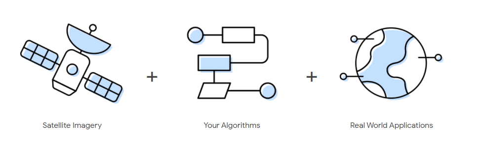
Its combines planetary-scale analytical capabilities with a multi-petabyte library of satellite images and geographical information. Its used by scientists, researchers, and developers to identify changes, map trends, and quantify variances on the Earth’s surface.
What makes Earth Engine different from Google Earth?
By interacting with a virtual globe, Google Earth allows you to travel, explore, and learn about the world. Satellite imagery, maps, topography, 3D buildings, and much more are available.
On the other hand, is a geographic data analysis tool. Among many other things, you may analyze forest and water coverage, land-use change, and the health of agricultural fields.
While the two tools share certain data, only a subset of Google Earth’s imagery and data is available for analysis in Earth Engine.
also read:You can now Erase the Last 15 Minutes of Search History on Google
How does Earth Engine data compare to Google Cloud Landsat and Sentinel data?
The team worked closely with Google Cloud to transfer the Landsat and Sentinel-2 collections to Google Cloud Storage as part of Google Cloud’s public data program.
The Google Cloud collections make it simpler and more efficient to retrieve data directly from Cloud services like Google Compute Engine or Google Cloud Machine Learning.
Please keep in mind that the Earth Engine Code Editor and API do not have access to these Cloud collections; instead, they rely on the Earth Engine data catalog directly.
Why is Google working on Earth Engine?
Google’s goal is to organize the world’s information and make it accessible and helpful to everyone. In accordance with its goal, organizes geographical data and makes it accessible for study.
Google, in general, aims to make the world a better place via the use of technology. The technological foundation of Earth Engine drives humanitarian, scientific, and environmental projects that Google is pleased to support.
How can Earth Engine do help me or my organization?
Its offers simple web-based access to a large library of satellite imagery and other geospatial data in an analysis-ready format. The data catalog is complemented by scalable computing capacity supported by Google data centers and flexible APIs that allow you to easily integrate your current geospatial processes. This allows for cutting-edge global analysis and visualization.
also read: Google Web Search now has dark mode feature: How to enable?
How do I use the Google earth engine?
Complete the form at signup.earthengine.google.com to get access to Earth Engine. You will get an email with instructions for getting started titled “Welcome to Google Earth Engine.”